


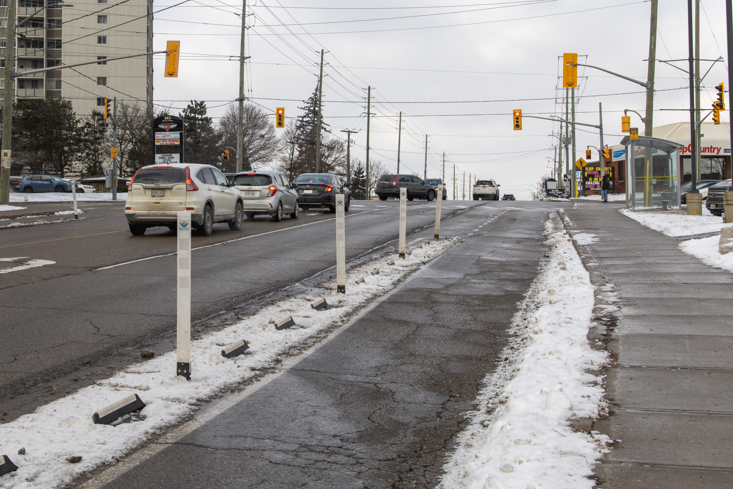
Columbia Street West
Beginning directly opposite to the newly expanded Columbia Ice Field, the Columbia St. cycling lanes extend until the intersection with King St. North.
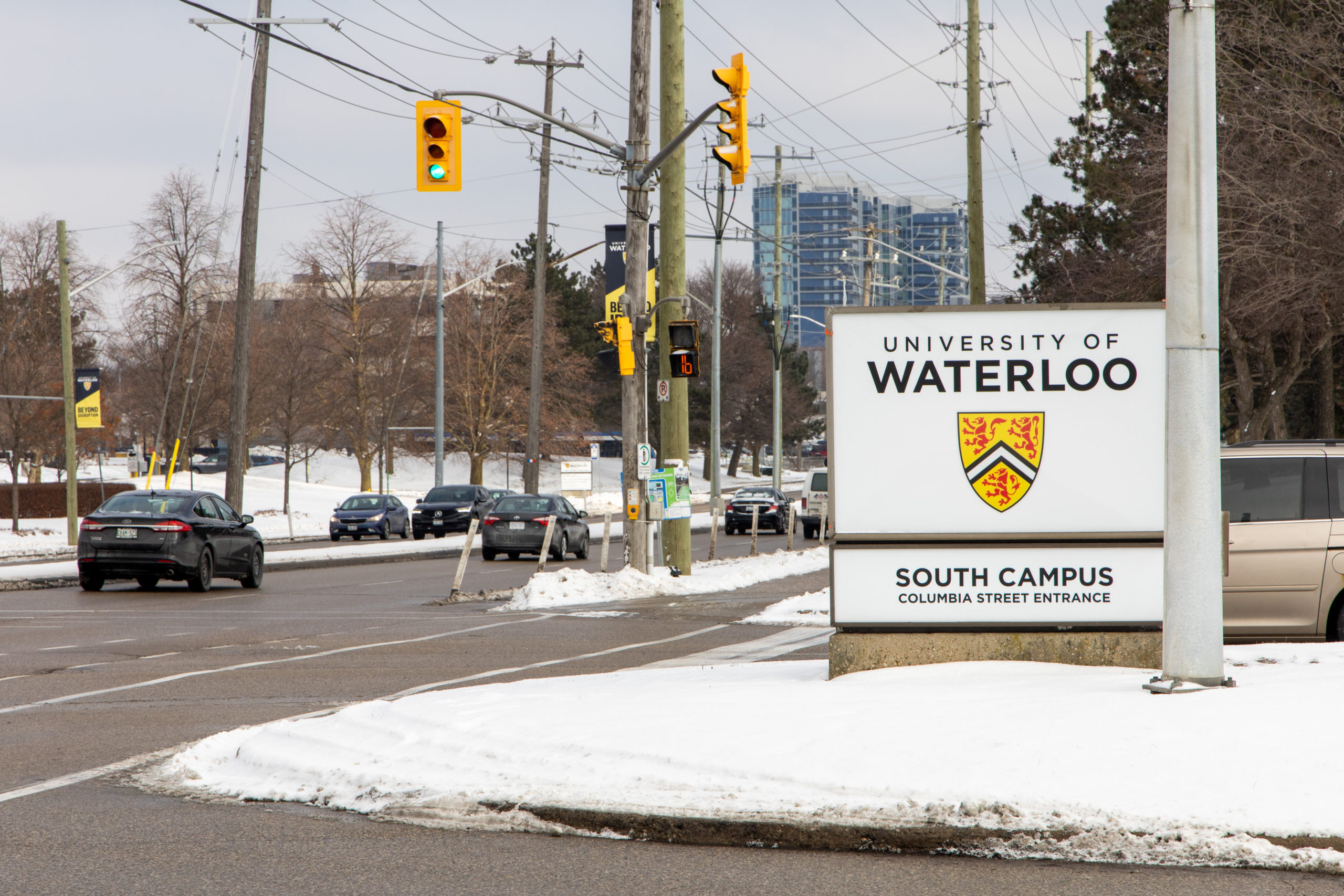
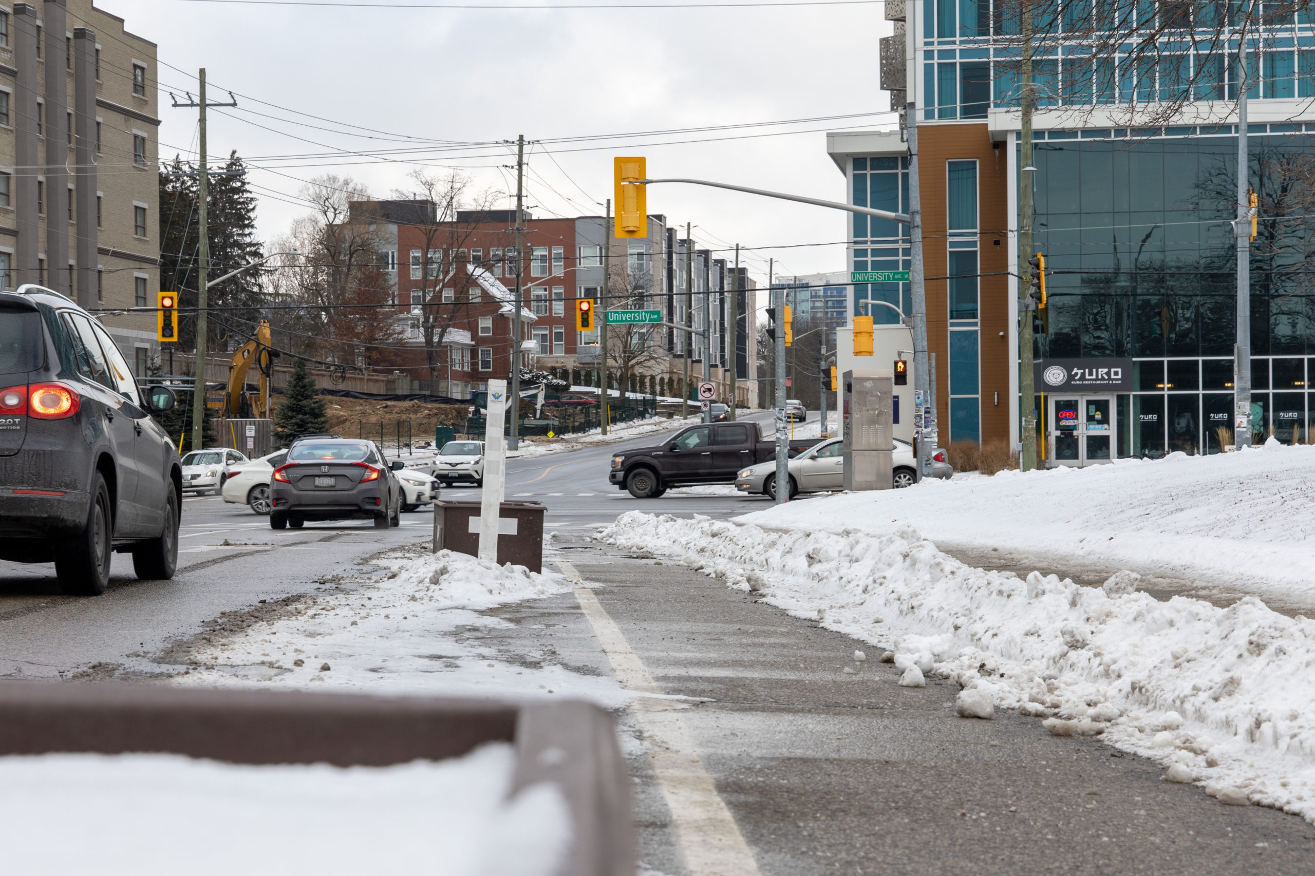
The University’s South Campus entrance onto Columbia St. is a broad intersection frequented by pedestrian and road traffic alike.
King Street North
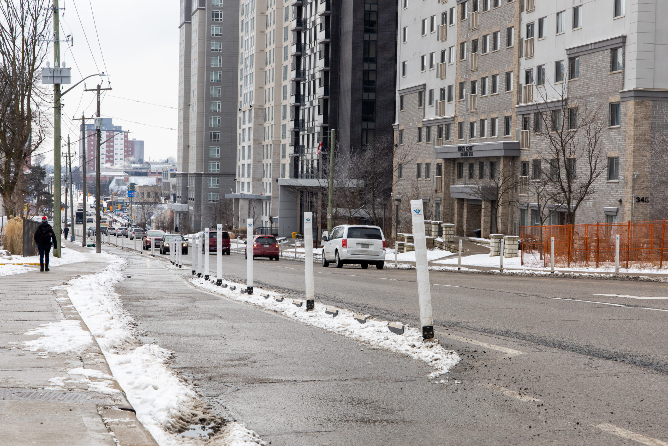
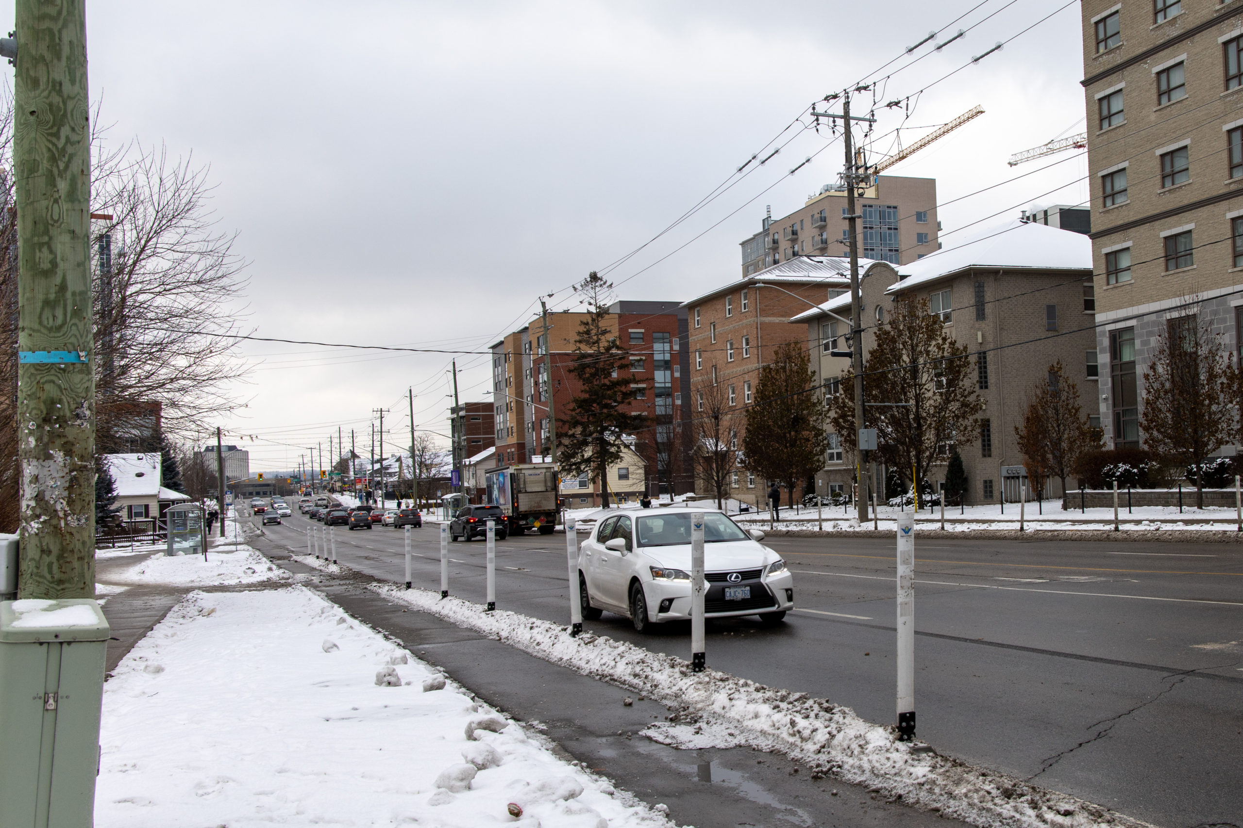
Pilot rubber dividers and bollards stretch down both sides of an entire block along King St. North.
The pilot lanes link up with the pre-existing King St. separated bike lane further south of University Ave. West.
Erb Street East
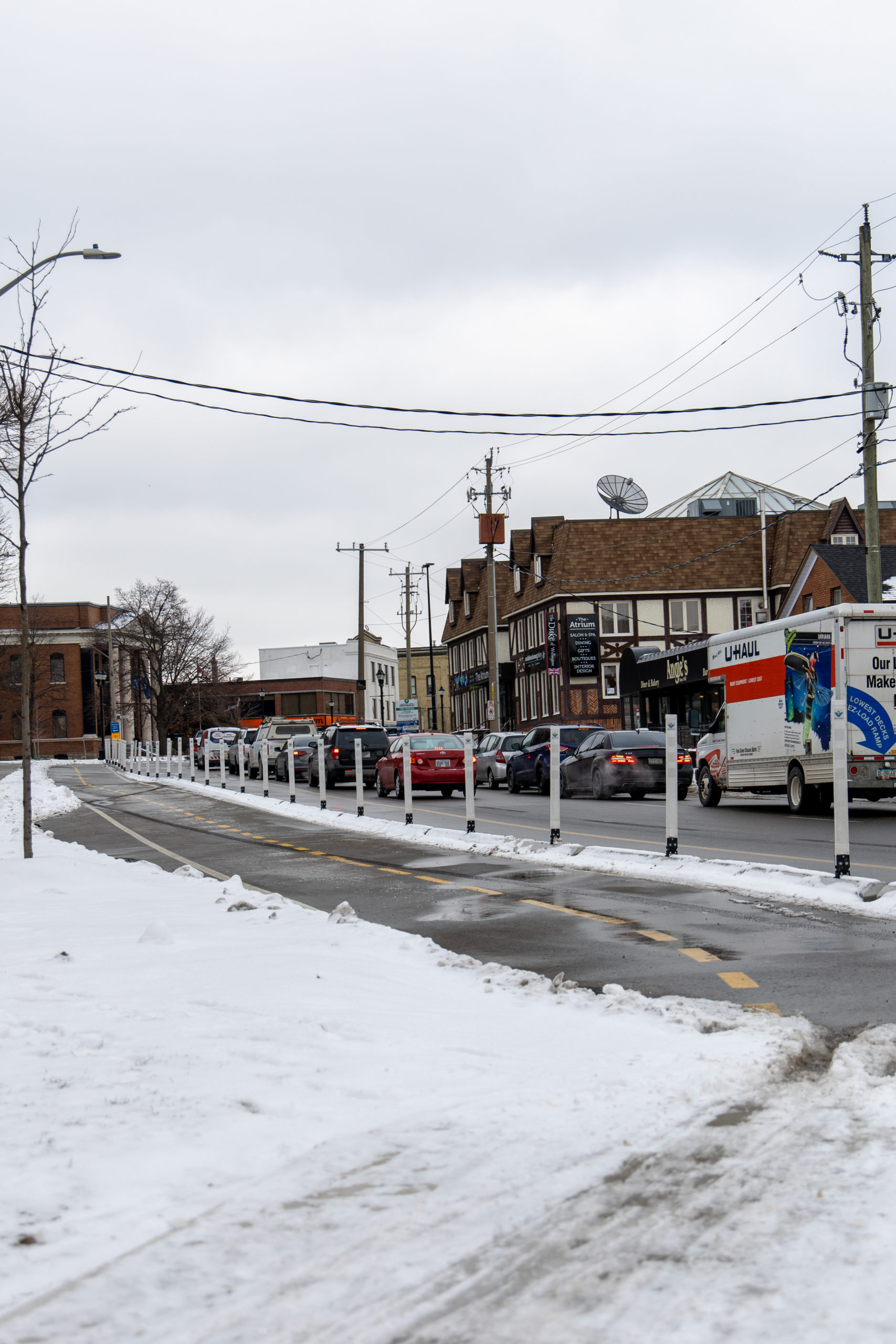
The pilot cycling lanes on Erb St. East are situated in the heart of Uptown Waterloo, forming links between existing cycling infrastructure in the area. Bike paths already in operation near Erb St. East include Laurel Trail and an existing bike lane extending from Father David Bauer Drive.
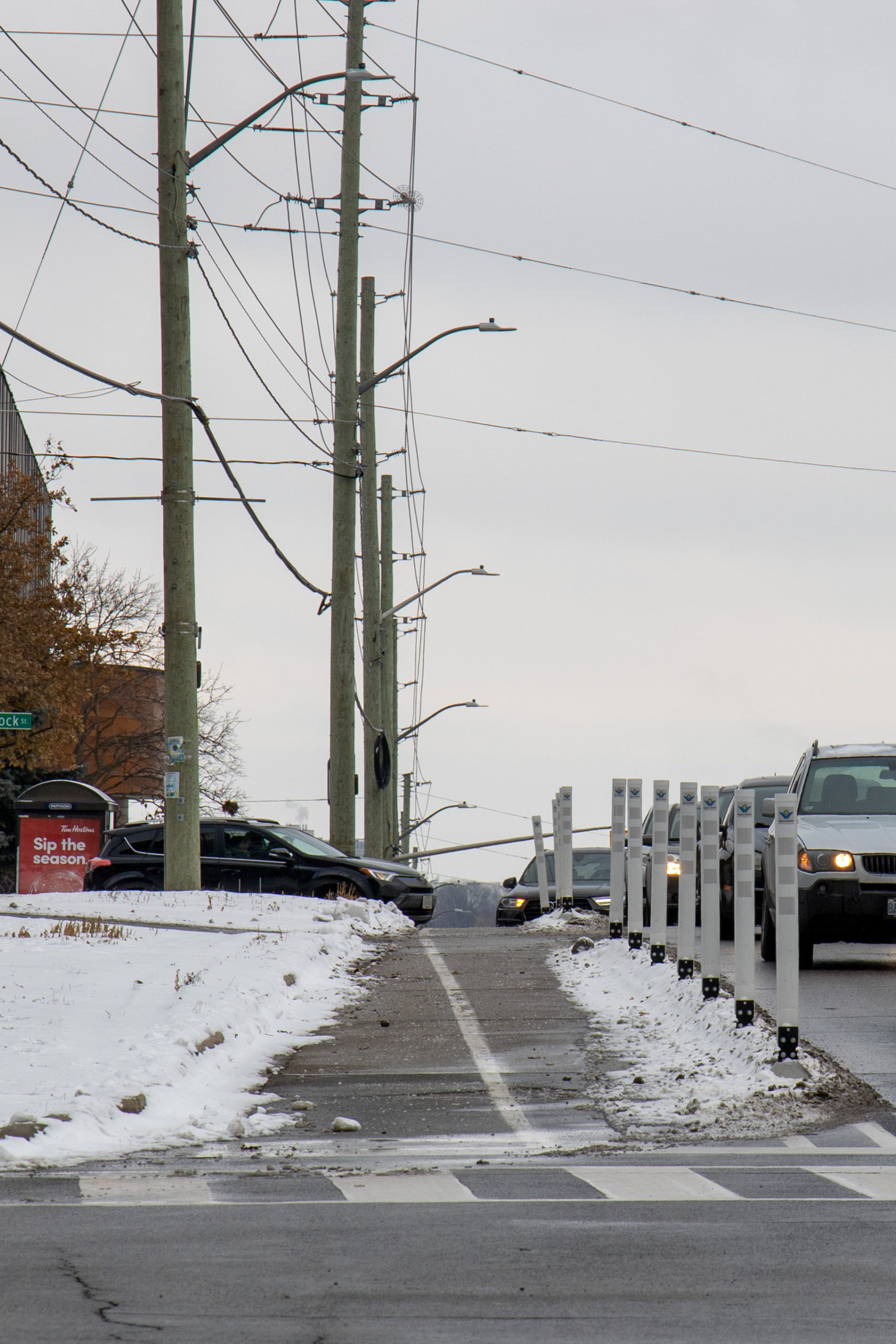
Albert Street
The shortest of the trial bike lanes, the Albert St. segment branches off of University Ave. West and includes planters in addition to the bollards seen along the other pilot lanes.
Adjacent to Wilfrid Laurier University buildings, the planter separated bike paths will hopefully be filled with bright spots of vegetation come springtime.
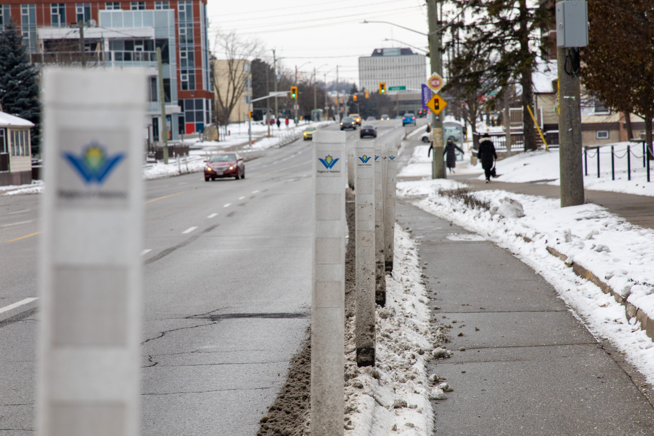
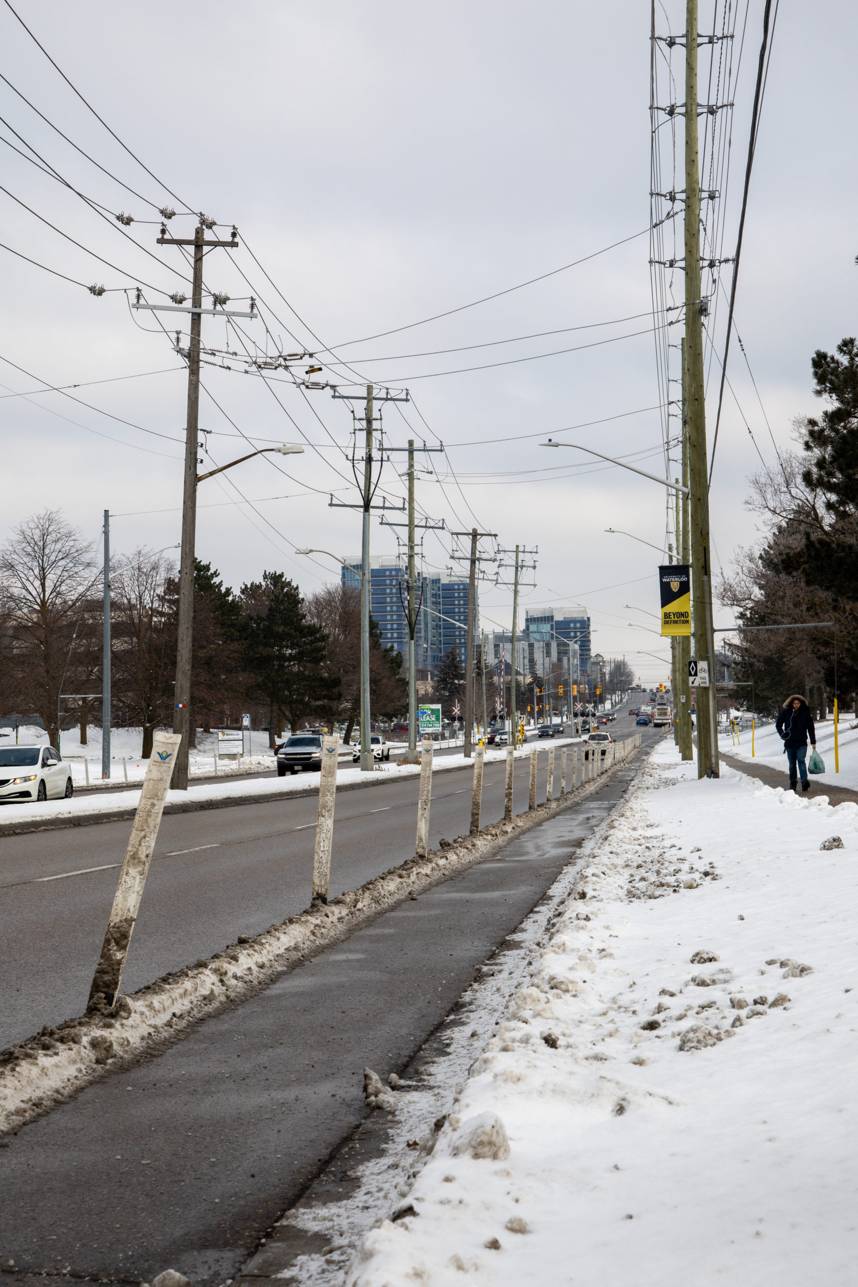
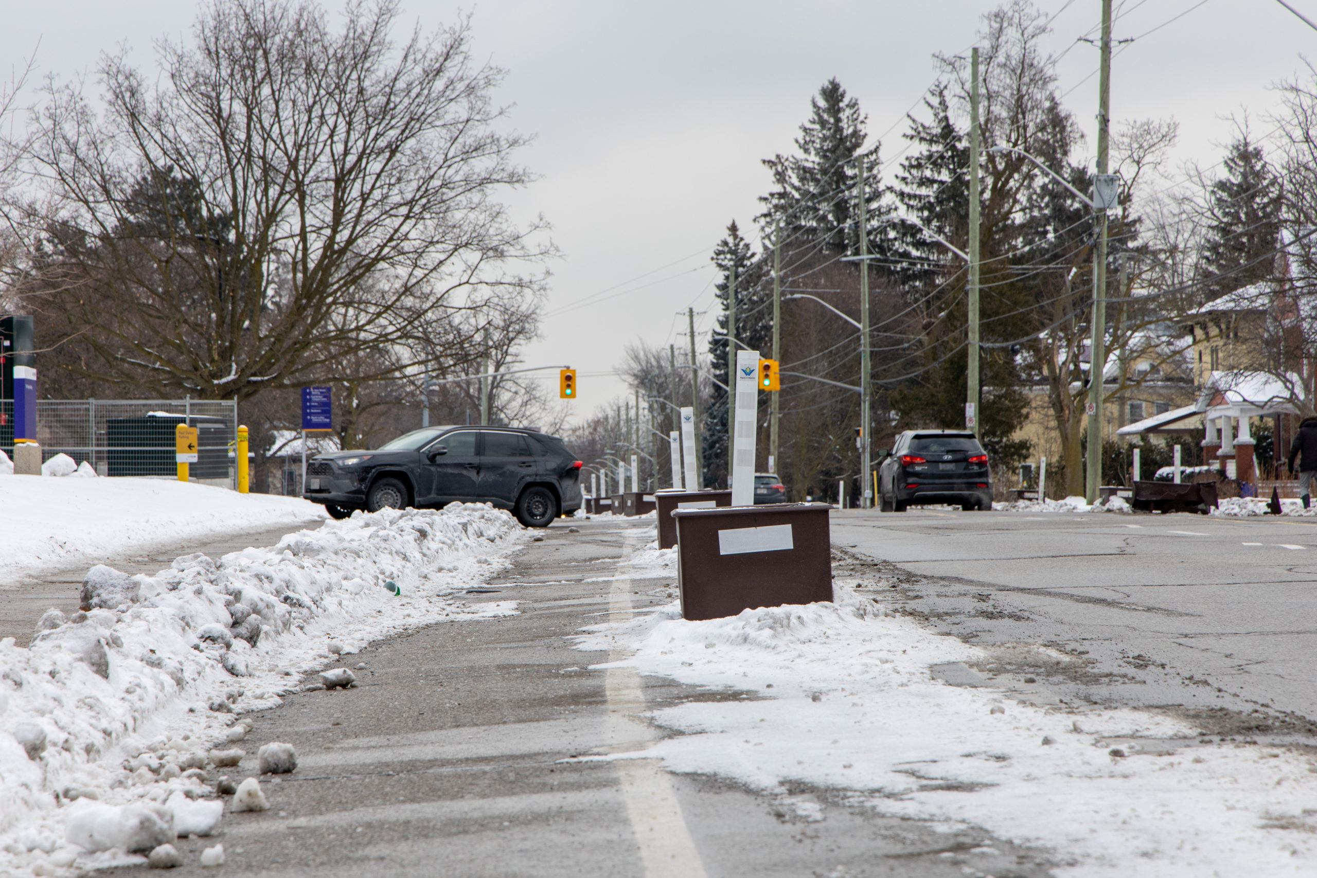
University Ave. W
With trial bike lane dividers running almost a full 1.5 kilometres along University Ave.
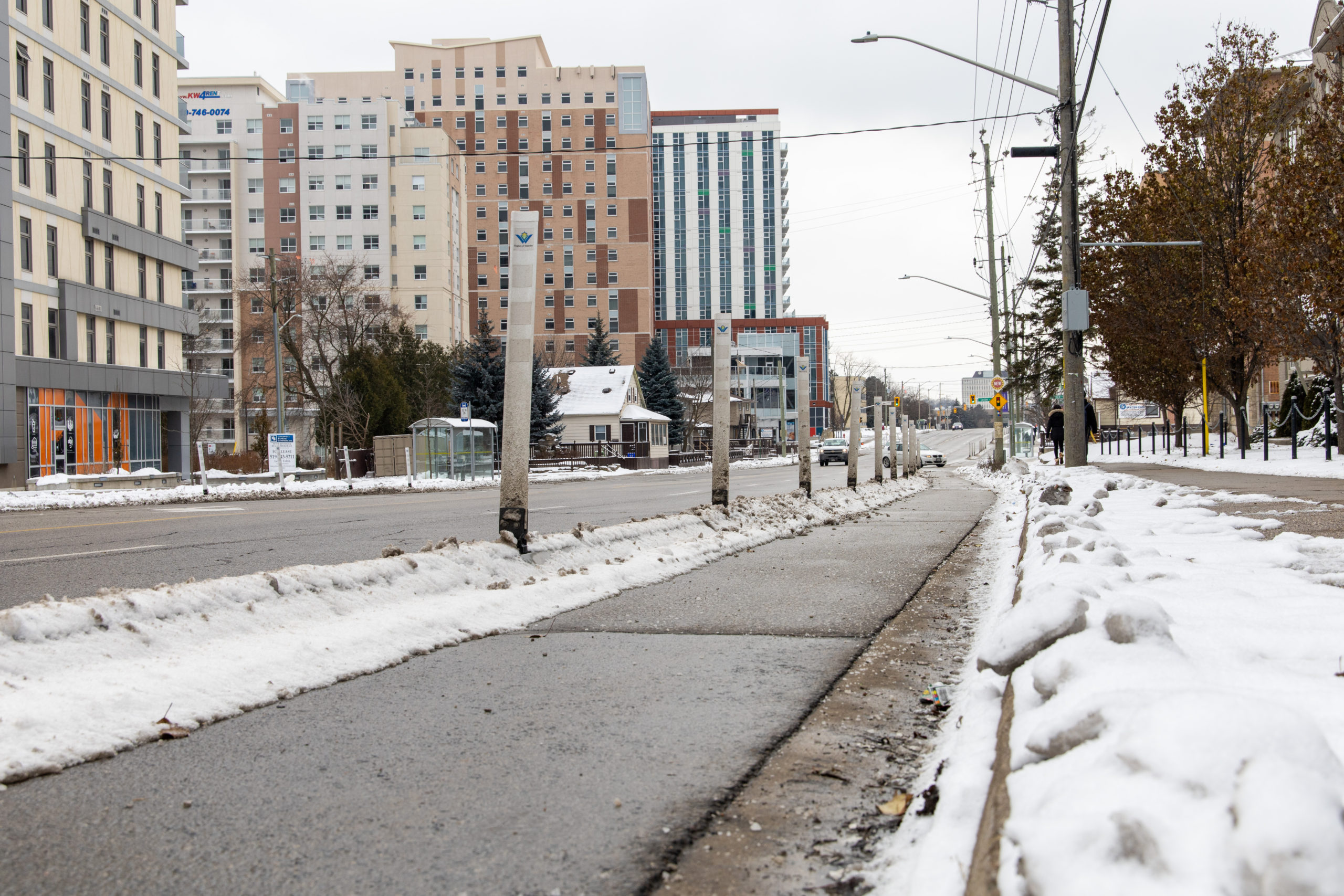
West, this segment of the bike paths has the most potential to be used by UW students due to its proximity to campus and off campus student residences.